Monreal
| Land: | Deutschland |
| Bundesland: | Rheinland-Pfalz |
| Kreis: | Landkreis Mayen-Koblenz |
| Gemeinde: | Vordereifel |
| Postleitzahl: | 56729 |
| Vorwahl: | 02651 |
| Kfz-Kennzeichen: | MYK |
| Einwohner: | 802 |
| Webseite: | https://monrealeifel.de// |
| Wikipedia: | https://de.wikipedia.org/wiki/de:Monreal |
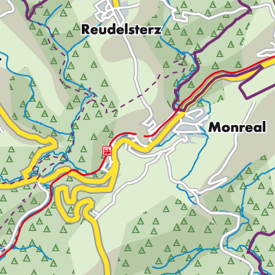
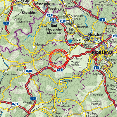
Monreal ist eine Ortsgemeinde im Tal der Elz im Landkreis Mayen-Koblenz im Land Rheinland-Pfalz, die der Verbandsgemeinde Vordereifel angehört und ihren Verwaltungssitz in Mayen hat.
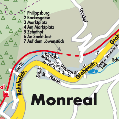
Oberhalb des Ortes liegen die Ruinen der Löwen- und Philippsburg.
Stadtpläne und Landkarten vom Stadtplandienst helfen Ihnen dabei, sich in Monreal zu orientieren. Sie können die Karten im Internet aufrufen und sich interessante Orte von Monreal anzeigen lassen, wie z. B. Sehenswürdigkeiten oder auch Tankstellen, Geldautomaten, Imbisse usw. Ausgedruckt können Sie den Stadtplan von Monreal auch offline nutzen.
Städte und Gemeinden in der Nähe:
Reudelsterz Weiler Hirten Düngenheim Anschau Kehrig Urmersbach Bermel Mayen Sankt Johann Ditscheid Hauroth Masburg Nachtsheim
Reudelsterz Weiler Hirten Düngenheim Anschau Kehrig Urmersbach Bermel Mayen Sankt Johann Ditscheid Hauroth Masburg Nachtsheim
Stadtplan und Landkarte von Monreal
Klicken Sie auf die Karte, um zum Stadtplandienst zu gelangen.